Last Wednesday a powerful earthquake struck at 5:04 p.m. Local time in Central Myanmar. Its epicenter was 143 km west of Meiktila city, 25km east of Chauk town (which is 34km south of Old Bagan) and 58km northwest of Yenangyaung city. A statement of the United States Geological Survey (USGS) said that the preliminary magnitude of the quake was at 6.8 and it hit at a depth of about 84.1 km. According to estimation from computer models of this organization, about 41.8 million people across the region may have felt the temblor, comprising 1.5 million people who may have experienced strong shaking. Tremors were felt across the region as well, involving in contiguous Bangladesh, eastern India, Thailand, Laos and China, making panicky residents rush onto streets.
The earthquake also spread its affection to Mrauk U – another Myanmar attraction – after a 15-second-long shaking, resulting in damage to three Buddhist shrines, namely Koe Thaung temple, Yandan Man Aung pagoda and Yadana pagoda, flowing to U Kyaw Lwin, a senior official from Rakhine State’s Department of Relief and Resettlement.
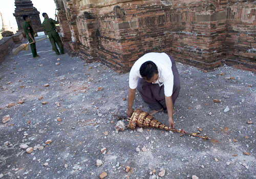
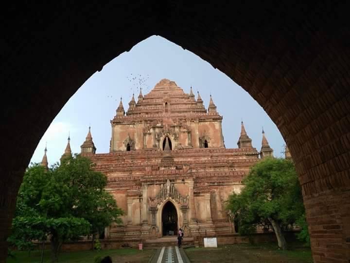
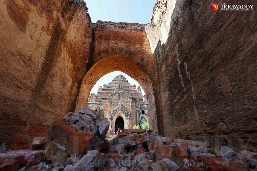
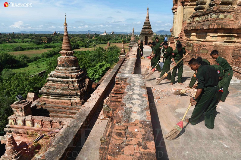
Here are some photos of the earthquake in Myanmar on 24th Aug 2016.

The earthquake struck at 5:04 p.m. Local time


Sulamani Temple after the earthquake

Dhammayangyi temple after the earthquake


The military cleans Htilominlo temple after the earthquake

Travelers are still able to visit Bagan.

